Rio Grande & Canal Crossings
No crossing in this metro carries more paper per foot than the river corridor. The Rio Grande through El Paso is an engineered international boundary — channelized and leveed, with the channel, levees, and adjacent lands administered by the binational boundary-water authority whose license process governs any occupation of its rights-of-way. A utility crossing here is a federal-coordination project first and a bore second, and pretending otherwise is how schedules die. We scope the license process, its engineering submittals, and its clock from day one.
The Rio Grande Project's canal and drain network is the corridor's second family of crossings: the American Canal and the valley's irrigation laterals and drains, run on the irrigation district's permits and — crucially — its water calendar, with the winter dry-up windows when canal-adjacent work prefers to happen. District criteria set cover and profile; the delivery season sets the schedule.
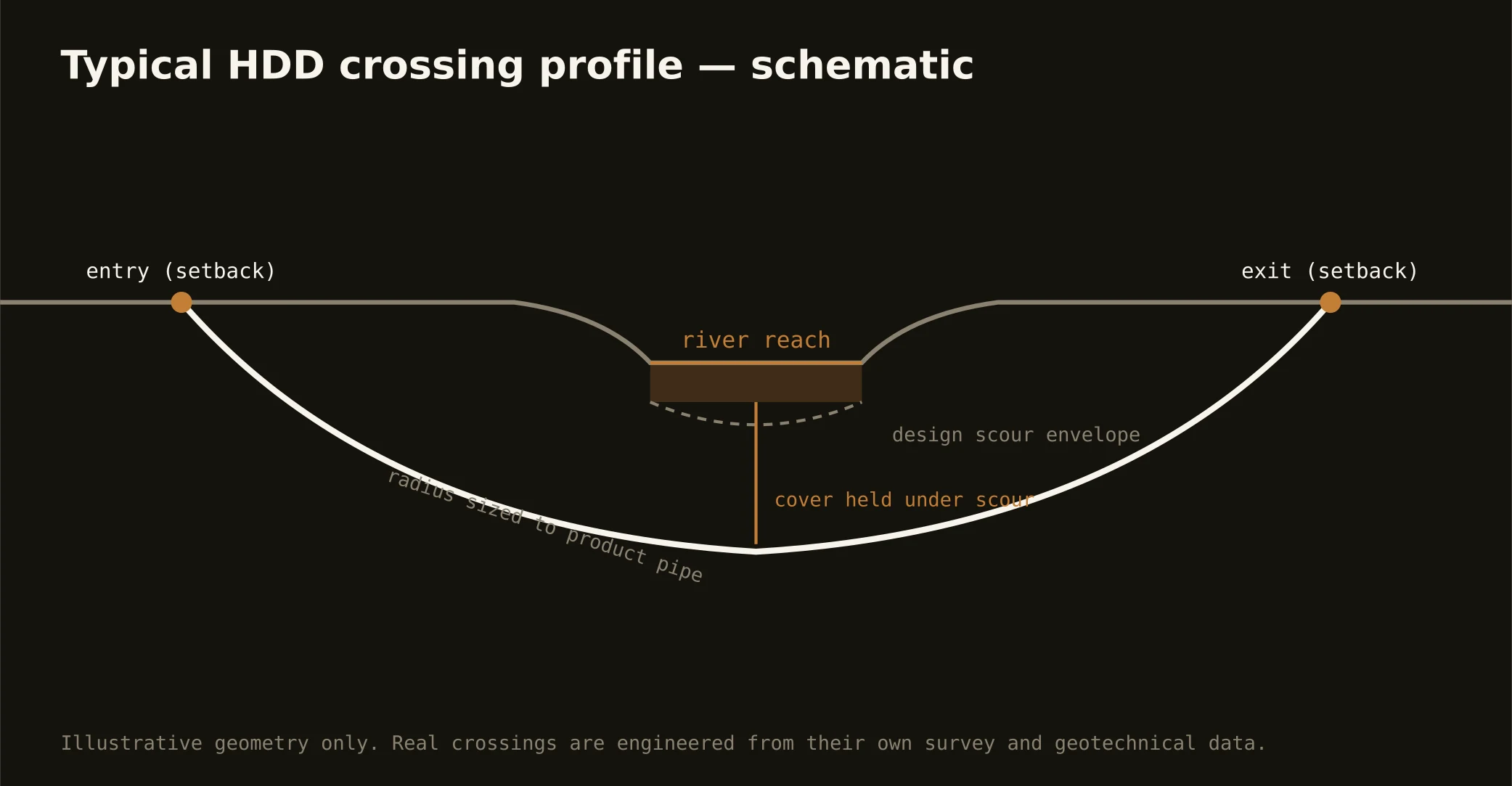
Technically, corridor crossings run in valley alluvium with shallow groundwater — honest drilling ground demanding tight fluid control, because an inadvertent return into an international channel or a delivery canal isn't a cleanup item, it's an incident with agencies attached. Containment both banks, conservative pressures, and a written response plan are the bore plan's spine here.