Directional Drilling in El Paso
A metro wedged between a mountain range and an international river, drilling desert gravel on one side of town and irrigated valley loam on the other. Borderland HDD is a permit-literate, ground-honest trade — and it's ours.
HDD is the whole job here
El Paso's geography writes its drilling manual. The Franklin Mountains split the city like a tent pole, shedding coarse fans of gravel and cobble onto the mesas east and west — fast-draining desert ground stiffened with caliche that prices like the rock it locally is. Down along the river, the valley flips the script: irrigated alluvial loams and clays, shallow groundwater near the channels, and the oldest utility corridors in the metro. One quote language doesn't cover both; ours names which ground your alignment lives in.
The river itself is the region's signature and its most distinctive paperwork. The Rio Grande here is an engineered international boundary — channelized, leveed, and administered by the binational boundary-water authority — and the Rio Grande Project's canal and drain network carries its water through the valley on the irrigation district's calendar. Utility crossings of any of it run on federal-and-district processes most metros never see; borderland permit literacy is the local trade skill, and it's built into our scoping.
Demand is steady and structural: Fort Bliss's enormous footprint drives contractor work to its gates, the borderplex's logistics and manufacturing corridors keep pulling power and fiber, colonias and county water projects extend service east, and El Paso Water runs one of the most inventive utility systems in the arid West. Behind it all sits the network desk — 50,000+ boring calls answered, ~10,000 crossings quoted, 2,000+ drilled — pricing borderland scope with borderland assumptions.
Fiber-Optic Boring
Cross-town backbone, borderplex logistics fiber, and FTTH from the west side to the Lower Valley.
Electrical Duct Boring
Feeders and duct banks for a metro adding industry on both sides of the river's economy.
Water & Force-Main Boring
Crossings for one of the arid West's most resourceful water systems.
Rio Grande & Canal Crossings
The signature borderland bore: under an international river and the canals that carry it.
Road & Highway Crossings
City, county, and TxDOT crossings — with the mesa/valley split priced honestly.
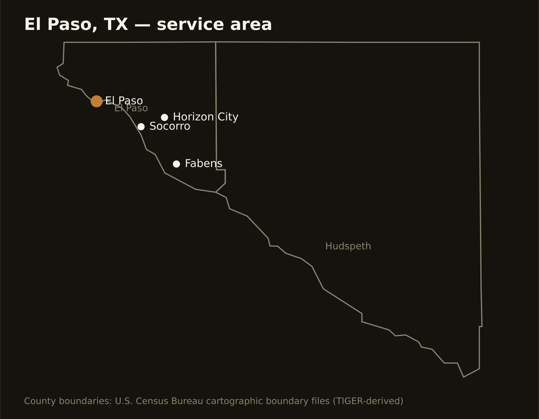
Two counties running the river from the New Mexico line to the Hudspeth flats — a binational metro of over two million people counting both banks, with Fort Bliss anchoring the northeast and the irrigated Mission Valley threading the southeast. Full county list on the service-area page.